A Look At How Autonomous Vehicles Navigate From Point A to Point B
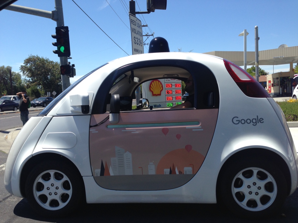
Maybe someone showed you a clip online. You might’ve seen something on the news about them, or maybe you’ve seen them in person. No matter where you turn, it seems like there’s some new development around autonomous vehicles. Make no mistake; in a few years, they’ll be a reality on roadways around the world.
With the number of companies researching and building autonomous vehicles (such as Google, Apple, and Uber, not to mention car manufacturers the world over), the advances keep coming. There’s one question that’s on everyone’s minds, though: how do these autonomous vehicles navigate?
Networked Sensors Watching the Road
Autonomous vehicles rely on several systems that work together to keep it on track from point A to B. Typically, most autonomous vehicles use built-in radar systems to monitor the positions of nearby vehicles. For example, an autonomous car might have sensors in the bumpers and on the driver and passenger sides.
Video cameras detect traffic lights, read road signs, and pinpoint other vehicles and pedestrians. LIDAR (Light Detection and Ranging) sensors detect the edge of the road by sending pulses of light out from the car and calculating how long it takes for it to bounce back.
Meanwhile, navigation and guidance systems provide a precise location for the vehicle and ultrasonic sensors in the wheels watch for curbs and help with precision movement.
All of this is controlled and analyzed simultaneously by a central computer that uses this data to drive and steer the vehicle. That’s a lot happening all at once!
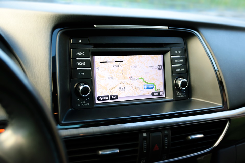
Navigation Systems
The central navigation subsystem is based on Global Navigation Satellite System (GNSS) receivers. These receivers are able to precisely compute location and time based on multiple signals received from Medium Earth-Orbit (MEO) satellites such as GPS.
Did you know that GPS isn’t actually the broad term for satellite navigation systems? The United States government owns GPS, the Global Positioning System. GPS isn’t the only GNSS satellite constellation, though. Other GNSS satellite constellations include:
- GLONASS (Globalnaya Navigatsionnaya Sputnikovaya Sistema), Russia’s comparable space-based radio navigation system;
- Galileo, operated by the European Union; and
- BeiDou, developed by the China National Space Administration.
Depending on the receivers’ technology, needs, location, and preference, GNSS satellite signals can precisely calculate a position and time.
In fact, GNSS systems can provide location accuracy to within a meter, an exceptional starting point for autonomous vehicles. The position provided via the GNSS receiver is then compared to map data collected from the same location. The vehicle’s internal map is updated in real-time with new positioning information.
Boosting Location Accuracy
Using Multiple satellite frequencies helps with sub-meter accuracy. For example, using both the L1 and L2 GPS frequencies can significantly improve accuracy. The signal’s carrier waves can greatly help correcting signal delay caused by earth’s ionosphere, which is often the greatest source of signal errors.
Real Time Kinematic (RTK) satellite navigation techniques can really improve accuracy. By using RTK carrier-based measurements or a rover receiver with the help of a single reference station (usually a base station nearby or a network of base stations), can increase the accuracy down to the centimeter.
GNSS Limitations and Solutions
GNSS is a must for autonomous vehicles, but what happens when (for example) a self-driving car enters a canyon or tunnel? Blocked GNSS signals and outages happen; even a second-long outage can make all the difference on a busy roadway. So what’s the solution?
Autonomous vehicles pair GNSS signals with an Inertial Measurement Unit (IMU). An IMU typically comprises three gyroscopes and three accelerometers affixed to a platform on the vehicle. Each paired gyroscope and accelerometer monitors a different orthogonal axis. Together, these transmit data on the linear motion and rotation of the platform.
But the IMU can’t tell you where you are, only how you’re moving. This is then cross-referenced with existing map data to pinpoint the vehicle’s location.
These sensors are based on MEMS gyros (historically used in aeronautics and military guidance systems). Once too large and cost-prohibitive for inclusion on an autonomous vehicle, MEMS have seen significant advances in recent years, lowering their cost and decreasing their footprint while improving their performance.
Hands on the Wheel
A Controller Area Network (CAN bus) controls all steering, acceleration, and braking. The CAN bus is a vehicle-centric internal communications network that’s been in use in most vehicles for decades. The difference? All operations are computer-controlled and based on sensor data in an autonomous vehicle.
But what this means, practically speaking, is that autonomous vehicles aren’t all that different from the vehicles we’re already using today.
While more work needs to be done to ensure high positioning accuracy and reliability, there’s plenty to be excited for when it comes to autonomous vehicles. Research continues to explore the use of existing environmental signals like Wi-Fi as an alternative or complement to current GNSS-based systems.
One final thought: you may have noticed how frequently the word “autonomous vehicle” shows up here. “Automated vehicles” is more accurate, as the vehicles in development still need some human input. “Autonomous” implies something operating on its own, while “automated” implies “machine-controlled.”
Self-driving vehicles still need someone in the driver’s seat… or at least, they do for now! Who knows? The autonomous vehicle might be here sooner than we thought!